
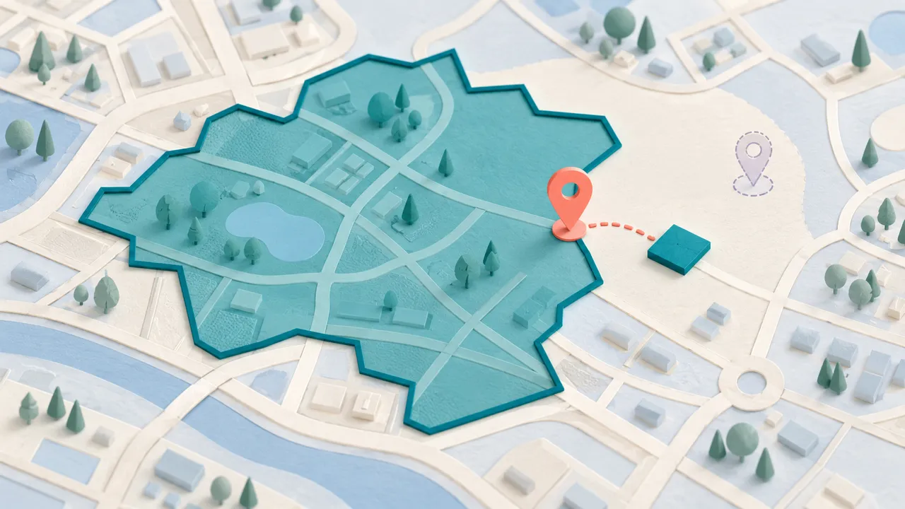
A delivery app needs a precise answer to a small question: is this location inside the area we serve? Keeping coordinates as arbitrary objects makes it easy to reverse their order or pass a shape that the next operation cannot interpret.
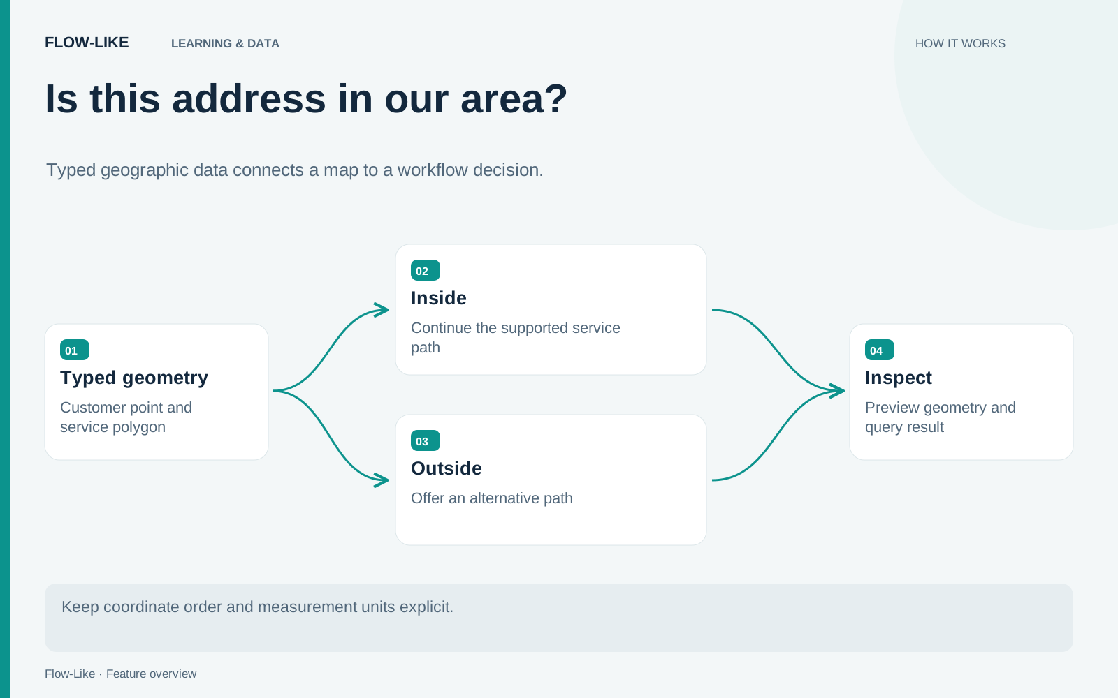
Flow-Like’s Geometry type gives locations and shapes an explicit contract. Geometry values use GeoJSON geometry objects, and the editor validates them and previews valid shapes on a map. We can use a Point for the customer and a Polygon for the service area, then turn the spatial result into a workflow branch.
Use synthetic coordinates for this exercise. The rectangle below is an invented service area, not a claim about any real delivery service.
Define the values before the decision
Create a Geometry variable with the Polygon subtype and enter this GeoJSON:
{
  "type": "Polygon",
  "coordinates": [
    [
      [13.39, 52.51],
      [13.42, 52.51],
      [13.42, 52.53],
      [13.39, 52.53],
      [13.39, 52.51]
    ]
  ]
}
The first and last positions are equal because a polygon ring must be closed. Positions use longitude, latitude, in WGS 84 degrees. Every position has exactly two coordinates in the supported profile.
Create the customer location as a Point:
{"type": "Point", "coordinates": [13.405, 52.52]}Inspect both on the map. A valid type does not prevent you from entering the wrong real-world location, so use the preview to check your interpretation. Reversed coordinates can describe a completely different place while still looking like a pair of reasonable numbers.
A GeoJSON Feature includes properties and wraps a geometry. That wrapper is not itself a Geometry value. If your source provides Features or a FeatureCollection, extract the geometry with the appropriate adapter before connecting it to Geometry inputs.
Make the boundary rule explicit
Add Geometry Contains (Planar), connect the service polygon to A and the customer Point to B, and send its Boolean result to a Branch. Contains excludes a point exactly on the polygon boundary. If your service includes addresses on that boundary, use Geometry Covers (Planar) with the same input order. Let the supported path continue to the sample delivery response. Let the other path return a clear alternative, such as collection or a request for a different address.
Test a point well inside and a point clearly outside first. Then test a point exactly on an edge and one at a corner. “Inside the service area” is business language; the treatment of the polygon boundary depends on the predicate you choose. Confirm that its behavior matches the rule you want, rather than leaving the edge case to chance.
If an input accepts any Geometry but the next operation requires a Point, use the validating subtype conversion. In FlowScript, the distinction appears as geometry and geometry<Point>. The conversion is a useful place to reject an unexpected shape from an external source.
Keep the result and the geographic inputs available in your test output. That lets you explain a rejected address without guessing which polygon or point the run actually used.
Store areas when the example grows
For several delivery regions, create a Geometry column in Data Studio and store each area with a stable service identifier. The stored representation uses WKB with GeoArrow WGS 84 metadata, while reads return GeoJSON values.
Application SQL exposes spatial predicates such as ST_Contains and ST_Intersects. You can bind a Geometry value as a query parameter rather than rebuilding it from an unvalidated string. The Geometry reference describes parameter binding and the supported write paths.
Application SQL evaluates spatial predicates above the Lance scan. Direct Lance spatial filters can use an RTree index. The index’s presence alone therefore does not tell you whether a query uses it. Check the query path when deciding how to retrieve a large set of service areas.
Measurement units also need care. Planar operations on longitude and latitude use degrees and square degrees. Use explicitly named meter or square-meter operations when the question is a physical distance or area. For the delivery checker, a polygon decision may be sufficient; a promise about a five-kilometer radius needs the corresponding geodesic operation.
Keep the service polygon version alongside the decision if your application needs to explain historical eligibility. A point that was outside yesterday can be inside after the business changes its area, even when the workflow code is unchanged.
Get automation insights delivered
Sign up for our newsletter to receive the latest updates on Flow-Like, automation best practices, and industry insights. No spam — just valuable content.